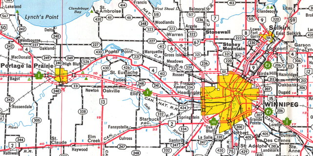
While looking for something else, I stumbled across the Manitoba Infrastructure and Transportation Ministry’s Historical Highway Maps of Manitoba site: a collection of PDF scans of dozens of highway maps of the province. The earliest is a 1926 map produced by the Winnipeg Tourist and Convention Bureau; the most recent is the B version of the 2010 Official Highway Map. Collectively they trace the development of the province’s road network: I got so very lost in this site watching the road network change from year to year—just as I did as a child, when I studied each new edition to see what had changed from the previous year. This is a weapons-grade hit of nostalgia for me.
Above, a detail from the 1966-1967 map, the first to use the style of map that I was familar with growing up in the 1970s.
Previously: Manitoba Historical Maps.
