
In the latest iteration of xkcd’s series of bad map projections, Randall puts Kansas—the putative centre of the contiguous 48 states—at the edge of the map.

In the latest iteration of xkcd’s series of bad map projections, Randall puts Kansas—the putative centre of the contiguous 48 states—at the edge of the map.

More proof that Randall hates us and wants to hurt our eyes comes from last Wednesday’s xkcd, which does what I’m pretty sure no cartogram has ever done: size by alphabetical order.

Looks like we’re not quite done with eclipse maps, especially the whimsical sort, and it’s not at all invalid for xckd to have (what is probably going to be) the last word on the subject (at least for a while), with this fictional map showing the fictional path of a fictional eclipse over a fictional landscape, with rueful descriptions of fictional places where trying to see the fictional eclipse will come to a bad end for the fictional observers. (And you thought it was bad you got clouds.)
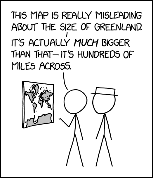
The 25 March 2024 xkcd honours Greenland’s place as a measure of cartographic distortion. It’s also, unexpectedly, a riff on the idea of the 1:1 scale map (cf. Borges), especially if you consult the comic’s alt text: “The Mercator projection drastically distorts the size of almost every area of land except a small ring around the North and South Poles.”
Previously: xkcd: The Greenland Special.
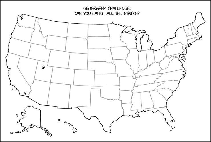
Stare at this map for a while until you figure out what Randall Munroe has done in last Friday’s xkcd. Then scream. (Kottke says: “This is evil.”) It’s not the first time that xkcd has committed mischief and violence on an outline map of the contiguous United States: see, for example this one, or this one. I worry it may not be the last.
Previously: xkcd’s United States Map; The Contiguous 41 States—Wait, What?

When I saw the xkcd for October 6th, I said to myself: that can’t be right. But I checked and yes, Wollaston Lake and Isa Lake are bifurcation lakes, so it is.
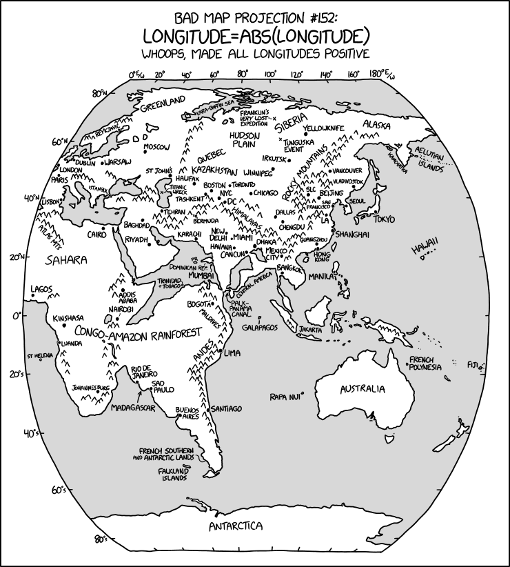
The latest in Randall Munroe’s Bad Map Projection series on xkcd is perhaps his most evil yet: it turns all longitudes positive—i.e., it turns west longitude into east longitude, putting Quebec somewhere in Kazakhstan and the Panama Canal off Sri Lanka.
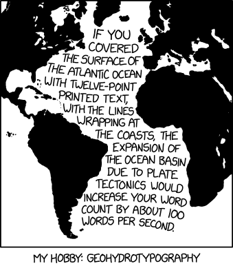
Well, that’s one way to visualize the rate of continental drift.
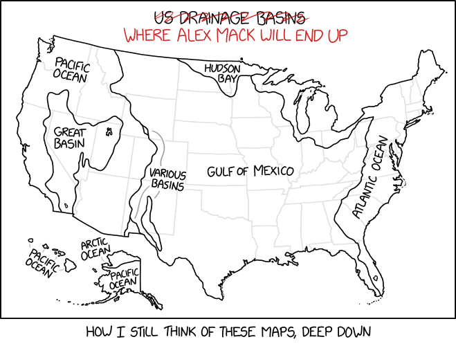
This xkcd cartoon requires deep Nickelodeon knowledge to understand.
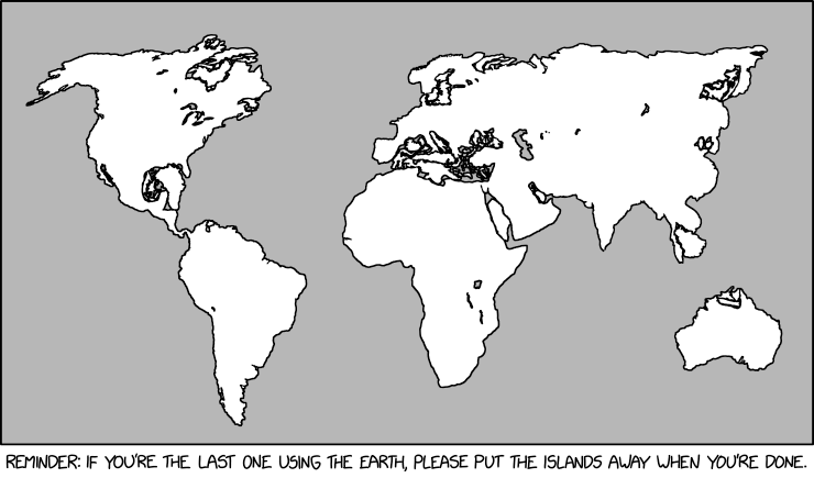
The xkcd from last Friday, “Island Storage,” is the most recent map-related way that Randall Munroe has hurt us in the eyes.
 The notion expressed in Monday’s xkcd, particularly in the alt-text—
OpenStreetMap was always pretty good but is also now really good? And Apple Maps’s new zoomed-in design in certain cities like NYC and London is just gorgeous. It’s cool how there are all these good maps now!
—is unexpectedly more on point than not.
In 2013 I wrote a screed saying that all online maps sucked: that no one map platform had a monopoly on errors. At the time Exhibit A for the suckiness of online maps was Apple Maps; since then, and particularly since 2018, Apple has been putting in the work. Not that they’re done, but still: the product is fundamentally better now than it was then. And it’s not like the other platforms have been idle in the meantime. No one platform is going to achieve Cartography’s ideal of the universal and accurate Map—that’s inherently unachievable—but better? I’ll take better.
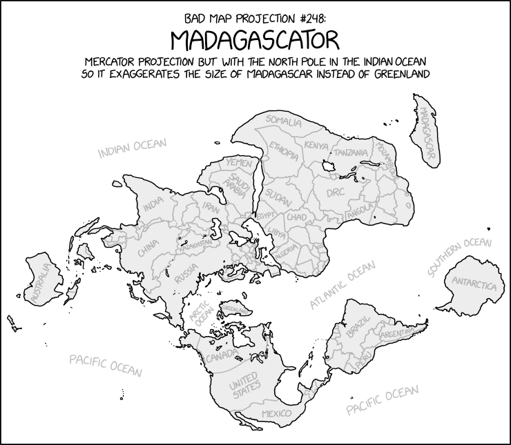
Uncharacteristically for xkcd’s Bad Map Projection series, the Madagascator is actually totally legitimate as a projection. Not that it’s any less mischievous, mind.
Update, 3 May: Turns out there was more to this xkcd cartoon. See Mercator: Extreme.

Randall Munroe’s map projection humour is increasingly on point, as last Friday’s xkcd demonstrates. (The mouseover text is even better: “There are two rules on this ship: Never gaze back into the projection abyss, and never touch the red button labeled DYMAXION.”)
Previously: xkcd: The Greenland Special; xkcd: All South Americas; Blame the Mercator Projection; xkcd’s Time Zone Map; xkcd’s Liquid Resize Map Projection.
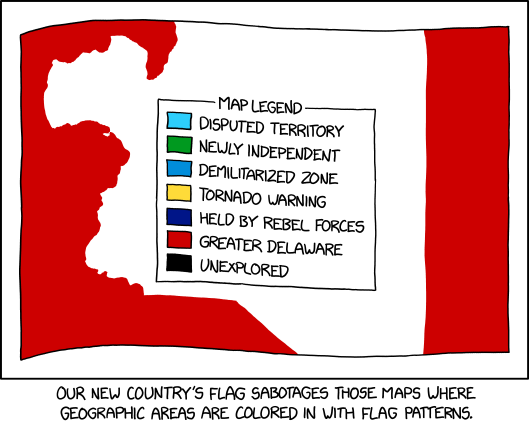
Maps where countries are coloured in with flag patterns: I’ve seen a lot of them around, especially on Reddit, but I haven’t necessarily liked them; xkcd’s comic from last Wednesday goes one step further in that it offers a way to hack them.

At some point, xkcd cartoonist Randall Munroe is going to put out a book focusing on his map-related cartoons, isn’t he. The latest in his “Bad Map Projection” series (previously: All South Americas, Time Zones, Liquid Resize) is The Greenland Special, an equal-area projection except for Greenland, which uses Mercator. And I thought he was messing with us before.