Skip to content

The Map Room

  • About
    • Contact
    • FAQ
    • Privacy Policy
    • Reviewing Guidelines
    • Submit a Link
  • Archives
  • Books
    • Map Books of 2024
    • Book Reviews (2011-present)
    • Older Book Reviews (2006-2011)
    • Reviewing Guidelines
  • Extras
    • Blogroll
    • Fantasy Maps
      • Recent Posts
      • Bibliography
    • Fiction About Maps
    • Publications
  • Subscribe & Follow
    • Email Digest
    • Bluesky
    • Facebook Page
    • Mastodon
    • RSS Feed
  • Patreon

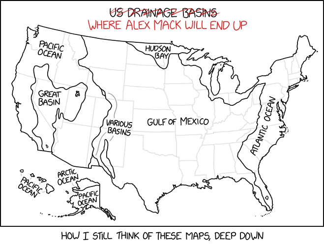
xkcd’s Drainage Basin Deep Cut

Published on 12 June 2023 by Jonathan Crowe
An xkcd comic showing a map of drainage basins of the United States, with the title “U.S. Drainage Basins” crossed out and replaced with “Where Alex Mack Will End Up.”
Randall Munroe, “Drainage Basins,” xkcd, 2 June 2023.

This xkcd cartoon requires deep Nickelodeon knowledge to understand.

Related Posts

Link•Categories Art, Hydrology•Tags comics, drainage basins, fun, funny, USA, xkcd

Post navigation

Previous The Lost Art of Map Reading
Next Map Books of 2023

About The Map Room

The Map Room is a blog about maps by Jonathan Crowe. Since 2003 he has covered everything from antique map collecting to the latest in geospatial technology. More about The Map Room.

Subscribe and Follow

  • Email Digest
  • Bluesky
  • Facebook
  • Mastodon
  • RSS Feed

Support The Map Room

Support The Map Room on Patreon, help the website go ad-free and allow me to spend more time writing and sharing information about maps.

Affiliate Disclosure

The Map Room participates in the Amazon, Bookshop and iTunes affiliate programs. I earn income from qualifying purchases made through links on this website.

Archives by Month

Categories

Tags

1500s (45) 1700s (31) 1800s (33) Apple (48) Apple Maps (68) books (310) Canada (100) cities (167) climate change (45) comics (37) coronavirus (50) COVID-19 (52) data visualizations (34) disease (42) elections (51) exhibitions (139) fantasy map design (35) fantasy maps (128) fun (37) funny (75) global warming (35) globes (61) Google (65) Google Maps (109) history of cartography (54) iOS (60) iPhone (42) libraries (126) London (64) map design (43) map projections (52) NASA (61) New York City (41) New York Times (38) OpenStreetMap (31) pictorial maps (35) railroads (31) railways (31) satellite (36) satellite imagery (51) tube (32) UK (71) USA (180) wildfires (34) xkcd (37)
Privacy & Cookies: This site uses cookies. By continuing to use this website, you agree to their use.
To find out more, including how to control cookies, see here: Cookie Policy
Proudly powered by WordPress | Theme: Toujours by Automattic.