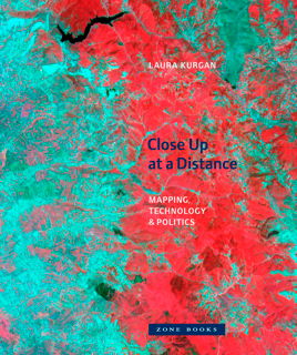
 Briefly noted: Laura Kurgan’s Close Up at a Distance: Mapping, Technology, and Politics (Zone Books, March 2013), a different look at maps built with satellite imagery, GIS and GPS data. “Poised at the intersection of art, architecture, activism, and geography, her analysis uncovers the implicit biases of the new views, the means of recording information they present, and the new spaces they have opened up. Her presentation of these maps reclaims, repurposes, and discovers new and even inadvertent uses for them, including documentary, memorial, preservation, interpretation, political, or simply aesthetic.” Via Human Scale Cities.
