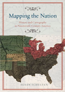
 Susan Schulten, a history professor at the University of Denver, writes to let me know about her new book, Mapping the Nation: History and Cartography in Nineteenth-Century America, out this month from University of Chicago Press.
From the publisher’s page: “Today, statistical and thematic maps are so ubiquitous that we take for granted that data will be arranged cartographically. Whether for urban planning, public health, marketing, or political strategy, maps have become everyday tools of social organization, governance, and economics. The world we inhabit—saturated with maps and graphic information—grew out of this sea change in spatial thought and representation in the nineteenth century, when Americans learned to see themselves and their nation in new dimensions.”
This sounds very interesting. Her previous book, The Geographical Imagination in America, 1880-1950, came out in 2001. I may have to pick up both: maps and the history of mentalities is too much to resist.
