Birds Discover Longitude

Eurasian reed warblers don’t need no stinkin’ marine chronometers. A new study suggests that the migratory birds make use of magnetic declination to determine longitude, “at least under some circumstances under clear skies. Experienced migrants tested during autumn migration in Rybachy, Russia, were exposed to an 8.5° change in declination while all other cues remained unchanged. This corresponds to a virtual magnetic displacement to Scotland if and only if magnetic declination is a part of their map. The adult migrants responded by changing their heading by 151° from WSW to ESE, consistent with compensation for the virtual magnetic displacement.”

Not, it would seem, accurate enough for the species to earn a chunk of the Longitude Prize, and it’s not like John Harrison should have been messing about with birds instead of clocks, but interesting all the same. [GeoLounge]

Harrison Reassessed

Jim Bennett, author of the new book, Navigation: A Very Short Introduction (Oxford University Press), reassesses the history of John Harrison and his marine chronometer solution to the longitude problem, a story that has been popularized by Dava Sobel’s 1995 bestseller, Longitude (reviewed here).

It is difficult to claim without important qualification that Harrison solved the longitude problem in a practical sense. In the broad sweep of the history of navigation, Harrison was not a major contributor.

The Harrison story seems to attract challenge and controversy. The longitude exhibition at the National Maritime Museum in 2014 was an attempt to offer a more balanced account than has been in vogue recently. The Astronomer Royal Nevil Maskelyne, for example, has been maligned without justification. A recent article in The Horological Journal takes a contrary view and offers ‘An Antidote to John Harrison’, and we seem set for another round of disputation. From a historian’s point of view, one of the casualties of the enthusiasm of recent years has been an appreciation of the context of the whole affair, while a degree of partisanship has obscured the legitimate positions of many of the characters involved. There is a much richer and more interesting story to be written than the one-dimensional tale of virtue and villainy.

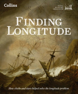
Finding Longitude

Book cover: Finding Longitude Major map exhibitions are frequently accompanied by lavishly illustrated books: London: A Life in Maps and the Magnificent Maps exhibitions had their eponymous books (London: A Life in Maps and Magnificent Maps), and the Chicago Festival of Maps was accompanied by Maps: Finding Our Place in the World.

No surprise, then, that “Ships, Clocks and Stars: The Quest for Longitude,” an exhibition opening at the National Maritime Museum in Greenwich next month, also has its accompanying volume: it’s called Finding Longitude: How Clocks and Stars Helped Solve the Longitude Problem, and it comes out later this week. It’ll be interesting to see how this complements Dava Sobel’s Longitude, a short history of the Longitude Prize and Harrison’s chronometers (my review).