Skip to content

The Map Room

  • About
    • Contact
    • FAQ
    • Privacy Policy
    • Reviewing Guidelines
    • Submit a Link
  • Archives
  • Books
    • Map Books of 2024
    • Book Reviews (2011-present)
    • Older Book Reviews (2006-2011)
    • Reviewing Guidelines
  • Extras
    • Blogroll
    • Fantasy Maps
      • Recent Posts
      • Bibliography
    • Fiction About Maps
    • Publications
  • Subscribe & Follow
    • Email Digest
    • Bluesky
    • Facebook Page
    • Mastodon
    • RSS Feed
  • Patreon

‘They Just Wanted to Fix Some Things About the State Borders’

Published on 13 October 201713 October 2017 by Jonathan Crowe
Randall Munroe, “State Borders.” xckd, 13 October 2017.

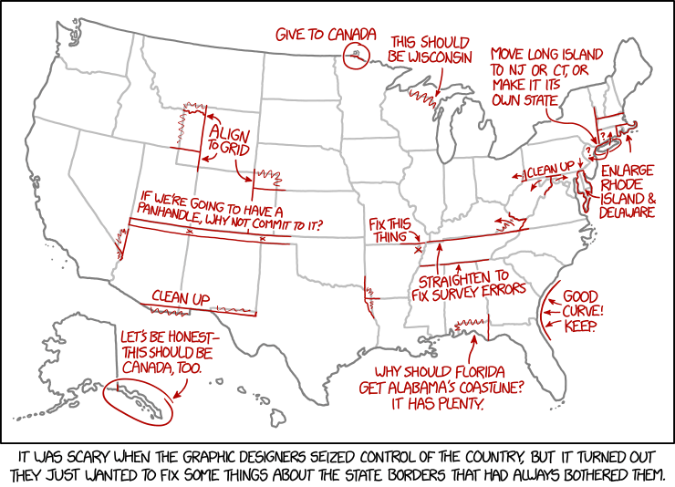
Today’s xkcd. Apparently, the graphic-designer dictatorship will, in their zeal to fix the state borders, overlook Point Roberts.

Related Posts

Image•Categories Unusual Maps•Tags comics, funny, xkcd

Post navigation

Previous Street View at the Top of the World
Next Australian Braille Globe Being Digitized

About The Map Room

The Map Room is a blog about maps by Jonathan Crowe. Since 2003 he has covered everything from antique map collecting to the latest in geospatial technology. More about The Map Room.

Subscribe and Follow

  • Email Digest
  • Bluesky
  • Facebook
  • Mastodon
  • RSS Feed

Support The Map Room

Support The Map Room on Patreon, help the website go ad-free and allow me to spend more time writing and sharing information about maps.

Affiliate Disclosure

The Map Room participates in the Amazon, Bookshop and iTunes affiliate programs. IĀ earn income from qualifying purchases made through links on this website.

Archives by Month

Categories

Tags

1500s (45) 1700s (31) 1800s (33) Apple (48) Apple Maps (68) books (310) Canada (100) cities (167) climate change (45) comics (37) coronavirus (50) COVID-19 (52) data visualizations (34) disease (42) elections (51) exhibitions (139) fantasy map design (35) fantasy maps (128) fun (37) funny (75) global warming (35) globes (61) Google (65) Google Maps (109) history of cartography (54) iOS (60) iPhone (42) libraries (126) London (64) map design (43) map projections (52) NASA (61) New York City (41) New York Times (38) OpenStreetMap (31) pictorial maps (35) railroads (31) railways (31) satellite (36) satellite imagery (51) tube (32) UK (71) USA (180) wildfires (34) xkcd (37)
Privacy & Cookies: This site uses cookies. By continuing to use this website, you agree to their use.
To find out more, including how to control cookies, see here: Cookie Policy
Proudly powered by WordPress | Theme: Toujours by Automattic.