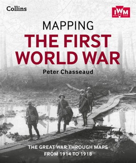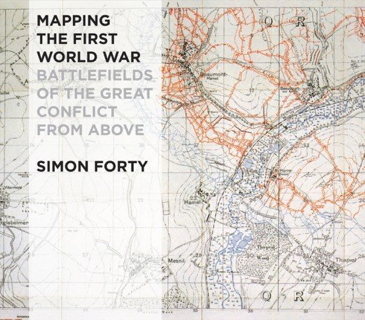

Two forthcoming books that deal with maps of the First World War: Peter Chasseaud’s Mapping the First World War: The Great War Through Maps from 1914-1918, out in a few weeks from Collins; and Simon Forty’s Mapping the First World War: Battlefields of the Great Conflict from Above, out some time next year from Conway Maritime Press.
