“The Monsters of Maps,” a 10-minute video by Richard Tilney-Bassett, explores the late-19th- and early-20th-century phenomenon of “serio-comic” or caricature maps, which are no stranger to us here. In the video Richard wonders what a modern-day caricature map would look like; I’d point him to the work of Andy Davey (see here and here).
Tag: World War I
How ‘1917’ Found Its Map
CBC News explores how the production team for the First World War epic 1917 consulted McMaster University’s collection of trench maps and aerial photography to produce an authentic replica of a situation map for the movie. The map they used, incidentally, is this one, a situation map showing British and German troop positions around Monchy-le-Preux on 24 April 1917:

Restoring a 150-Foot Map of Australia in the English Countryside
During World War I, Australian troops staying at nearby Hurdcott Camp carved a gigantic map of Australia into a Wiltshire hillside. Chalk gravel was used to fill shallow trenches to create an outline map some 150 feet wide with 18-foot-tall letters. Since then, despite a restoration in the 1950s and its designation as a Scheduled Ancient Monument, the map has faded, but for the past four years the Map of Australia Trust has been working on restoring the map. It was finished in time for Armistice Day. More from BBC News (video) and Historic England. [Jonathan Potter]
Forgotten Wrecks of the First World War
Forgotten Wrecks of the First World War is an interactive map of more than 1,000 wartime wrecks along England’s south coast. Like much of the material and personal history of that war, the wreck sites—”which include merchant and naval ships, passenger, troop and hospital ships, ports, wharfs, buildings and foreshore hulks”—are degrading; this is a project designed both to raise awareness and preserve information. Selecting a wreck site brings up a wealth of detail about the ship, its current state, and the circumstances of its loss. More at the project page and from BBC News. The map itself is a basic Mapbox affair, with a layer that only looks vintage (there are motorways). [Kenneth Field]
Mapping the Halifax Explosion

Today marks the 100th anniversary of the Halifax Explosion, which took place when a French cargo ship laden with explosives collided with another ship in Halifax Harbour. The resulting blast killed around 2,000 people and devastated the city of Halifax, Nova Scotia; it was the largest artificial explosion of the pre-nuclear age.
Maps Mania points to a couple of interactive maps of the explosion produced by Canadian news media. CBC News’s A City Destroyed: Experience the Halifax Explosion 100 Years Later is a bit over-produced, with 360-degree video and a non-clickable map that immediately segues into a 3D environment with limited interactivity. (It also pegs one of my CPU cores.) Global News’s interactive map is more modest in scope: developed by Patrick Cain, it’s a Google Maps mashup that points to the known addresses of those killed by the explosion. (Casualties in Dartmouth, across the harbour from Halifax, aren’t mapped because the data weren’t available.)
Mapping Canada’s War Dead
Over the past few years, Global News’s Patrick Cain has been producing interactive maps pinpointing the home addresses of Canada’s war dead. Most date from 2013. Toronto’s map covers both World Wars and Korea; Winnipeg’s and Vancouver’s cover World War I alone. This map covers D-Day casualties across the country. This map shows the next-of-kin addresses for Korean War casualties. [Canadian Geographers]
A Giant Map of the Battle of Vimy Ridge
 McMaster University’s Daily News has a piece on a large-scale map of Vimy Ridge—a World War I battle fought by Canadian troops that has since entered the national folklore—that reproduced from McMaster’s extensive collection of trench maps. The map, created by Canadian Geographic and 17 × 13 feet in size, is currently on display in the foyer of the university’s Mills Library, but it’s been on tour for at least the past year: the Vimy Ridge map is one of several giant floor maps produced by Canadian Geographic’s education division; each can be booked for a three-week loan period. [WMS]
The Sykes-Picot Agreement at 100
Today marks the 100th anniversary of the Sykes-Picot Agreement, a secret pact among the Triple Entente to partition the Ottoman Empire into their respective spheres of influence. Above, the map delineating those spheres of influence, signed by diplomats Mark Sykes and François Georges-Picot eight days earlier. [NLS Maps]
Two Books on WWI Maps


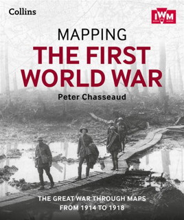
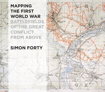
Two forthcoming books that deal with maps of the First World War: Peter Chasseaud’s Mapping the First World War: The Great War Through Maps from 1914-1918, out in a few weeks from Collins; and Simon Forty’s Mapping the First World War: Battlefields of the Great Conflict from Above, out some time next year from Conway Maritime Press.


