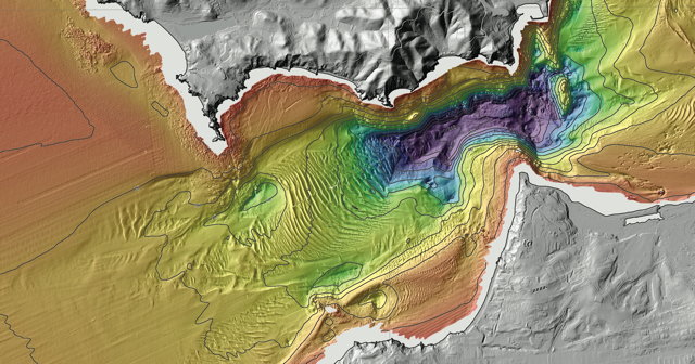
The USGS‘s California Seafloor Mapping Program has produced a set of insanely detailed maps of the sea floor along the California coast. Downloadable as rather hefty PDF files; the map sheets are three feet across as paper maps. Above, a detail from the shaded-relief bathymetry map of the San Francisco area. Boing Boing, Wired.

