Here are a few map-related books coming out this fall. They include books by a game show legend and a highly regarded artist, and an atlas that has already encountered more than its share of controversy.
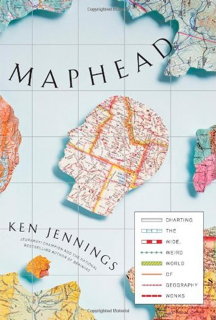
 Maphead by Ken Jennings (Simon & Schuster, September 2011. ISBN 978-1439167175). Jeopardy champ Ken Jennings’s book about map nerdery, Maphead: Charting the Wide, Weird World of Geography Wonks, came out last month. Seth Stevenson reviewed it for Slate: “His sprightly, good-natured memoir combines light introspection, rafts of geographic trivia, and admiring profiles of fellow map obsessives. Along the way, Jennings weaves in musings on the importance of maps as cultural artifacts–be they yellowed scrolls with hand-drawn sea monsters or satellite snapshots that can geolocate single blades of grass.” Excerpts are available on Jennings’s website.
Amazon | Publisher
(Previously: Ken Jennings’s Map Book Is Coming in September; Ken Jennings Is Writing a Map Book.)
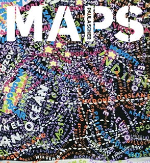
 Maps by Paula Scher (Princeton Architectural Press, November 2011. ISBN 9781616890339). Princeton Architectural Press has published a number of excellent map art books lately, including Katharine Harmon’s You Are Here and The Map as Art and Kris Harzinski’s collection of hand-drawn maps, From Here to There (my review). In November they’re publishing Maps, a hardcover book reproducing artist Paula Scher’s large-scale map paintings, created between 1998 and 2010. Samples are available on Scher’s website. Via @TAGFineArts.
Amazon | Publisher
(Previously: New Paula Scher Exhibition; Paula Scher: The Maps.)
 The Times Comprehensive Atlas of the World, 13th edition (Times Books, September 2011. ISBN 978-0-00-741913-5). Normally the publication of a new edition of the Times Comprehensive Atlas of the World, thought by many to be the gold standard of world atlases, wouldn’t ruffle too many feathers. But the atlas’s publishers got into trouble when scientists challenged the claim that Greenland had lost 15 percent of its permanent ice cover — a loss dramatically apparent in the atlas’s map of the island. But, as BBC News shows, the map is not consistent with satellite observations. The publishers have apologized for the 15 percent statement, which was in the press release but not the atlas itself, and is now reviewing the map of Greenland itself; see their clarification. See also GIS Lounge. Amazon | Publisher
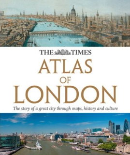
 The Times Atlas of London (Times Books, October 2011. ISBN 978-0-00-743422-0). Arriving this month in the U.K., and presumably with much less controversy, The Times Atlas of London, which the publisher describes as an “[a]uthoritative and prestigious atlas with detailed mapping and photographs for the whole of Greater London. Fully up-to-date reference maps, statistics, images and historical mapping give an exceptionally detailed view of London helping you explore this great city.” The Times Atlas of London also comes to Canada in November and Australia in December, but not the United States. Amazon | Publisher
 The Times Mapping the Railways by Julian Holland and David Spaven (Times Books, September 2011. ISBN 978-0-00-743599-9). For those interested in railway maps, there is now a book out that is for once not by Mark Ovenden. Also from Times Books, the awkwardly titled Times Mapping the Railways is, from what I can gather, a history of British railways told through maps — more than a hundred of them according to the publisher’s materials. It’s out in Britain now, Australia in October and Canada in November; like The Times Atlas of London, short of ordering from a British or Commonwealth book shop, it’s unavailable in the United States. Amazon | Publisher
London Map Book. The London Mapping Festival has announced that they’re planning to publish a map book in time for Christmas; presumably we’ll have more details soon. Via @bcsweb.
