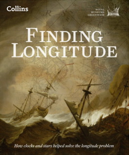
 Major map exhibitions are frequently accompanied by lavishly illustrated books: London: A Life in Maps and the Magnificent Maps exhibitions had their eponymous books (London: A Life in Maps and Magnificent Maps), and the Chicago Festival of Maps was accompanied by Maps: Finding Our Place in the World.
No surprise, then, that “Ships, Clocks and Stars: The Quest for Longitude,” an exhibition opening at the National Maritime Museum in Greenwich next month, also has its accompanying volume: it’s called Finding Longitude: How Clocks and Stars Helped Solve the Longitude Problem, and it comes out later this week. It’ll be interesting to see how this complements Dava Sobel’s Longitude, a short history of the Longitude Prize and Harrison’s chronometers (my review).


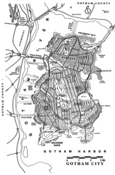
 I was not aware that Batman’s Gotham City has had a consistent map for the last fifteen years or so. Its geography was defined in 1998 by illustrator