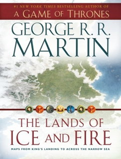
 The Lands of Ice and Fire, which came out last month, is a collection of maps of the lands of George R. R. Martin’s Song of Ice and Fire series, executed by the fantasy cartographer Jonathan Roberts.
You should know what you’re getting when you buy this. It’s not an atlas. It’s not even a book. George himself describes it as “a book-shaped box containing a whole bunch of gorgeous, glossy, fold-out maps of Westeros, Essos, and the lands and seas from A Song of Ice and Fire.” There is no text other than on a single-page introduction.
Open the box and you see two sleeves containing six maps apiece. Each map is 24 by 30 inches, single sided, in full colour, and on glossy paper, the kind you can see your fingerprints on. As fantasy maps go, this is a lavish production—a long way from the two-colour atlases we’ve seen for other imaginary worlds. (Some Amazon reviewers have expressed concern about wear and tear from folding and unfolding the maps; bear that in mind.)


