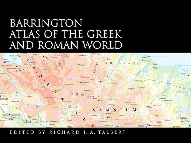
The Barrington Atlas of the Greek and Roman World was a landmark in historical cartography: an atlas that pinpointed locations from classical antiquity on modern maps. The result of more than a decade’s work and $4.5 million in funding support (here’s the project website), the print version of the Barrington Atlas, which came out in 2000, was both enormous and expensive: larger than either the National Geographic or Times Comprehensive atlases,1 and priced at an eye-popping $395.
Now, as I mentioned earlier, there’s an iPad version of the Barrington Atlas, which (they say) contains the full content of the $395 print atlas and costs only $20 (iTunes link). On that basis it’s a no-brainer: $20 is better than $395. (95 percent off!) Classicists with iPads who don’t buy this app have something wrong with them. But how does it work as a map app?
How do you create an iPad version of an existing print atlas? If you’re the National Geographic Society, with a century or more of cartography behind it, you’re more than able to put out a $2 app that includes several levels of map detail and can be panned and zoomed to your heart’s content. But if you’re the Barrington Atlas, you don’t have the same resources.
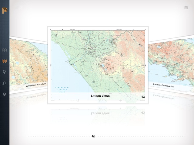
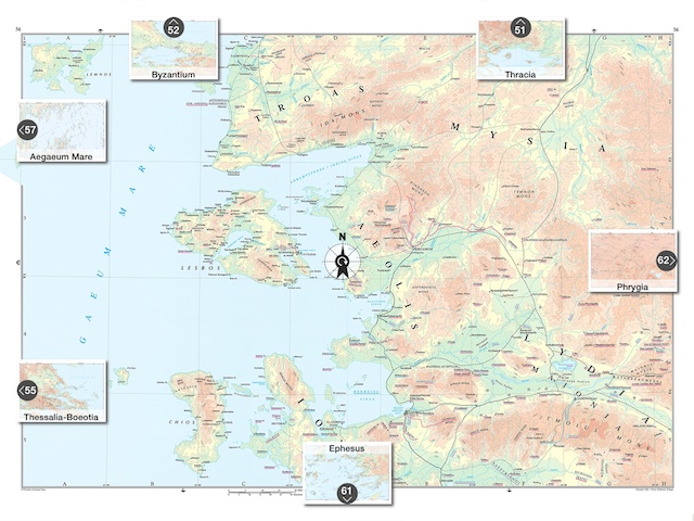
So what you end up with in the Barrington Atlas app are high-resolution versions of the original maps from the print version. These maps—which are marvellous, by the way—used the Lambert conformal conic projection: stitching them together to form a seamless single map would be a major effort, all the more considering that the maps were produced in the 1990s using Illustrator 6 on early PowerPC Macintoshes (the iPads on which this app runs are much more powerful computers). Instead, you browse the individual maps in a Cover Flow-style interface.
That’s not to say that the app is completely uninteractive. Pressing the compass button shows you the adjacent maps, so you can explore after a fashion.
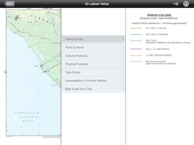
Pressing the key button opens up the legend.
Navigation is also facilitated by the Locator tab, which allows you to select individual maps from the key map interface, below. (This also shows the Barrington Atlas‘s coverage: I bet you weren’t expecting it to include Tibet.)
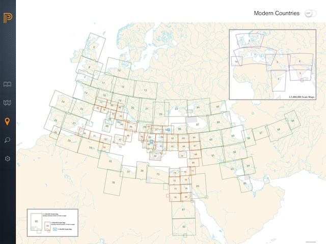
All things considered, it’s a reasonable approach to presenting the information without having to start from scratch, particularly for an app that will not have a broad audience.
That said, I did find a few interface problems: page-turning was slow and sometimes unreliable (tapping worked better than dragging), and the Cover Flow browsing was a bit blocky. It crashed on me once or twice. I tested this app on a new iPad Air; I wonder how well it runs on an iPad 2, which is the minimum hardware required. And the app doesn’t save state: it doesn’t remember what page of the Introduction you were reading or what map you were consulting; reopening the app starts from scratch.
Not that these are deal-breakers—not for this kind of app. It works well enough, at least on top-of-the-line hardware, that those with an interest in this subject should be able to lay down their $20 without much hesitation. It beats $395, after all.
