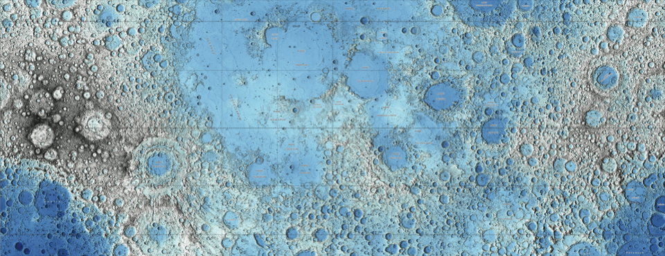
Two stunning maps of the Moon have been released by the USGS, both based on data collected by the Lunar Reconnaissance Orbiter: one an image mosaic assembled from visual imagery, the other (above) a colour-coded topographical map derived from laser altimeter data. Via io9.
Tag: USGS
Ganymede and Mercury
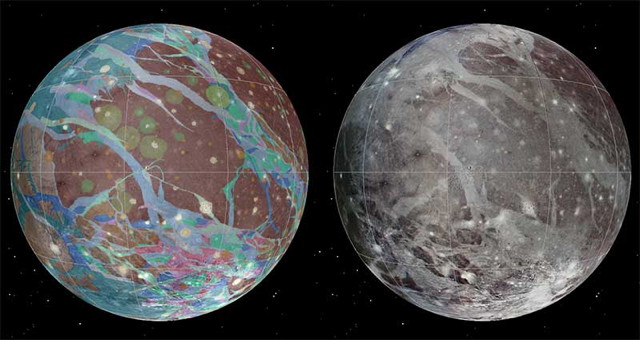
The USGS has published a geologic map of Ganymede, Jupiter’s largest moon and the largest moon in the Solar System, based on imagery from the Voyager 1, Voyager 2 and Galileo probes. Via Centauri Dreams, Sky and Telescope.
Meanwhile, Sky and Telescope has produced a Mercury globe based on MESSENGER imagery. They already produce both visual and topographic globes of the Moon and Mars, as well as a globe of Venus coloured for elevation. (I’m crossing my fingers for globes of the outer moons, myself.)
I’m big on maps and globes of the rest of the Solar System. Recent entries: Maps of Mercury; Atlas of Vesta; A Topographic Map of Titan.


