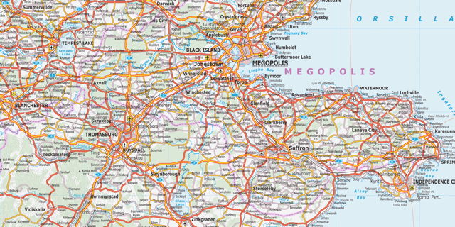
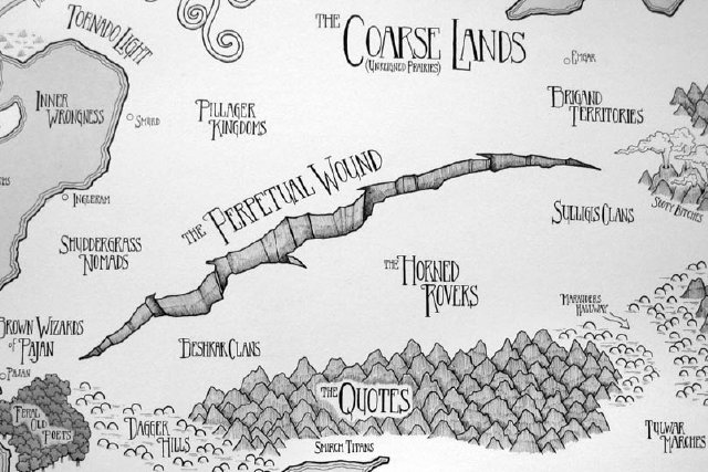
Null Island

zero-zero

Zero degrees longitude, zero degrees latitude is literally nowhere: situated in the middle of the open ocean, off the coast of Africa in the Gulf of Guinea, the only thing to mark its presence is a weather observation buoy [via]. But it’s also a significant set of coordinates, in that it’s the location you might get in the case of geocoding errors.

Hence the invention of Null Island, an imaginary place to flag geocoding failures. It shows up in version 1.3 of Natural Earth, for example, as an island one square metre in size, but coded so that it would never appear in an actual map. Gary Vicchi explains Null Island in more detail. As is the way of fictional places, Null Island has grown in the imagination: it has its own website, replete with sections on its history, geography, people and economy, and its own flag.

More on ‘A Map of Every City’

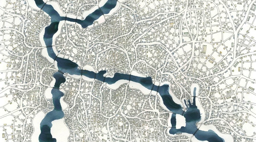
Without question, the most popular post on The Map Room so far this week—by two orders of magnitude—was this post pointing to Chaz Hutton’s “A Map of Every City.” Hutton’s map went kind of viral, and not just here. He’s since announced that a print of the map will be available at some point; he’s also written a post on Medium explaining some of the background behind the map.

Andy Woodruff’s Islands of Boston

boston-population-islands

Andy Woodruff imagines Boston neighbourhoods as islands, where any unpopulated areas—commercial districts, industrial areas, highways, parks—are represented as water. “Some neighborhoods of the Boston area are actual islands, or were at one point. Others, however, can feel that way even when connected to each other by land. Water isn’t the only thing that can create a gulf between neighborhoods; sometimes it’s created by features of the urban landscape and the experience of passing through them.” [via]

Sorol

Sorol world map

Another one for those of you who like geofiction as much as I do. The Sorolpedia is an online encyclopedia of the distant and fictional world of Sorol, containing articles about the planet and its inhabitants. The maps are something else: far better than you’d expect from such a project (there’s even a KML file to import it into Google Earth). Its creator has put it on indefinite hiatus since 2010, so we may not see any more updates, but it’s still fascinating stuff.

OpenGeofiction

Screenshot: OpenGeofiction

I love geofiction—creating imaginary worlds through maps—and OpenGeofiction is something I’ve wanted to see for a long time: a collaborative map of an imaginary world that is built with OpenStreetMap’s editing tools. The world is divided into territories, some of which any member can edit, others that are assigned to individual members (after a waiting period). More info here.

I’ve been playing with it and am already nervous about the amount of time I can see myself losing to this. (Though one wrinkle is having no real-world referents to determine scale: without GPS traces or aerial imagery, figuring out how big a house, or a cloverleaf loop, should be is going to be tricky.)

Previously: Ian Silva’s Koana Islands.

Mapping Gotham

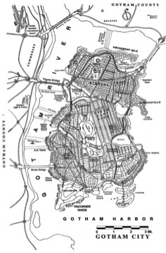
Map of Gotham City I was not aware that Batman’s Gotham City has had a consistent map for the last fifteen years or so. Its geography was defined in 1998 by illustrator Eliot R. Brown for the “No Man’s Land” storyline but has been used ever since, including by the Christopher Nolan trilogy of movies. Brown describes how the map came to be on his website; the story has also been picked up by Smithsonian.com. Thanks to Caitlin and Dwight for the tip.
More Map Books

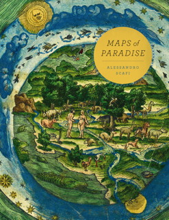
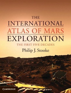
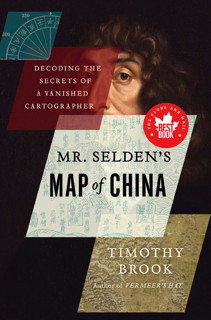
Book cover: Mr. Selden's Map of ChinaBook cover: Golden Age of Maritime MapsBook cover: Maps of ParadiseBook cover: International Atlas of Mars Exploration

Here are some map books that I recently found out about:

Ian Silva’s Koana Islands

Koana Islands (Ian Silva)

Wired Map Lab has the story of Ian Silva, who’s been posting astonishing road and transit maps of the imaginary Koana Islands to Reddit; the Islands now have their own section on the site, replete with a travel guide. It’s as serious an undertaking as William Sarjeant’s Rockall, Jerry Gretzinger’s Ukrainia, or Austin Tappan Wright’s Islandia.

I admit it: I love geofiction—creating imaginary worlds through maps—and I always get excited when I encounter a great new mapmaker. This is no exception.

Jeffrey Beebe’s Refractoria

Western Refractoria (detail), Jeffrey Beebe
Jeffrey Beebe operates in the same space as Jerry Gretzinger or Austin Tappan Wright. “Over the last fifteen years, I have created the world of Refractoria, a comprehensive imagino-ordinary world that is equal parts autobiography and pure fantasy.” The design language is pure fantasy map, but he goes deeper than that: in addition to maps, he’s created heraldry and constellations, among many other things: the primary source materials of an imagined place whose history has not been written. Boing Boing, MetaFilter.