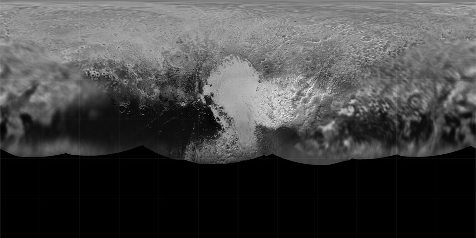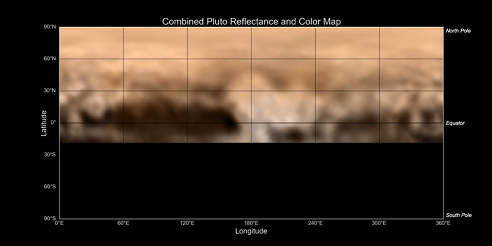
New global and topographic maps of Pluto and its largest moon, Charon, have been published. The Icarus articles—this one for Pluto, this one for Charon—are behind a paywall, however, though I expect the maps themselves to be freely available at some point.
To create the maps, New Horizons researchers, led by Universities Space Research Association (USRA) senior staff scientist, Paul Schenk, at the Lunar and Planetary Institute, registered all the images from the Long Range Reconnaissance Imager (LORRI) and Multispectral Visible Imaging Camera (MVIC) systems together and assembled the mosaics. This labor-intensive effort required detailed alignment of surface features in overlapping images. Digital analysis of stereo images obtained by both cameras were used to create topographic maps for each region; these were then assembled into integrated topographic maps for each body. These new maps of Pluto and Charon were produced painstakingly over a two-year period as data were slowly transmitted to Earth from the New Horizons spacecraft. The quality of geographically and topographically accurate maps improved with each new batch of images that were returned to Earth.
One surprise revealed by the maps: both Pluto and Charon have a lot of elevation. For example: Pluto’s Tenzing Montes range (above) rises up to 6 km above the surrounding plain, and Charon has a topographic amplitude of 19 km (only Iapetus has more). That’s seriously craggy. Keep in mind that these are not large worlds: Pluto’s radius is 1,200 km, Charon’s 600 km. [Michele Bannister]


