All Online Maps Don’t Suck?

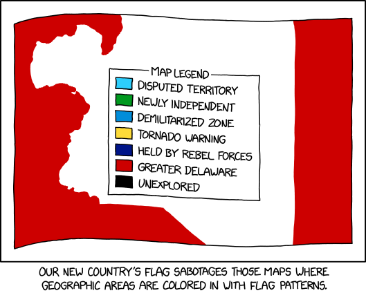
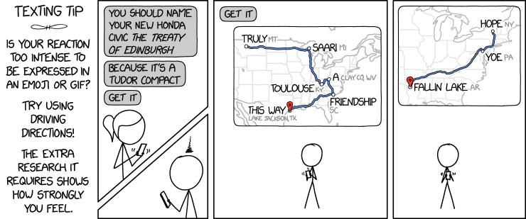
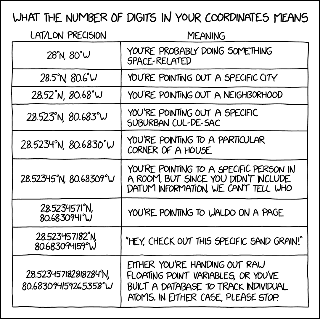
OpenStreetMap was always pretty good but is also now *really* good? And Apple Maps's new zoomed-in design in certain cities like NYC and London is just gorgeous. It's cool how there are all these good maps now!The notion expressed in Monday’s xkcd, particularly in the alt-text—

OpenStreetMap was always pretty good but is also now really good? And Apple Maps’s new zoomed-in design in certain cities like NYC and London is just gorgeous. It’s cool how there are all these good maps now!

—is unexpectedly more on point than not.

In 2013 I wrote a screed saying that all online maps sucked: that no one map platform had a monopoly on errors. At the time Exhibit A for the suckiness of online maps was Apple Maps; since then, and particularly since 2018, Apple has been putting in the work. Not that they’re done, but still: the product is fundamentally better now than it was then. And it’s not like the other platforms have been idle in the meantime. No one platform is going to achieve Cartography’s ideal of the universal and accurate Map—that’s inherently unachievable—but better? I’ll take better.

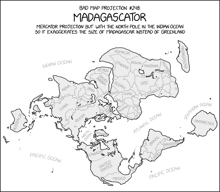
xkcd: The Goode Homolosine to the Rescue!

Randall Munroe, “Sea Chase,” xkcd, 4 Feb 2022.

Randall Munroe’s map projection humour is increasingly on point, as last Friday’s xkcd demonstrates. (The mouseover text is even better: “There are two rules on this ship: Never gaze back into the projection abyss, and never touch the red button labeled DYMAXION.”)

Previously: xkcd: The Greenland Special; xkcd: All South Americas; Blame the Mercator Projection; xkcd’s Time Zone Map; xkcd’s Liquid Resize Map Projection.

A Map of Every Chinese City

Map of Every Chinese City (Alfred Twu)
Alfred Twu (CC licence)

Inspired, he says, by Itchy Feet’s maps of Every European City and Every American City, Alfred Twu has come up with a Map of Every Chinese City. (Chinese version here.) Twu is no stranger to these parts: he worked on rail maps for California and the Northeast Corridor some years back.

Previously: Itchy Feet’s Map of Every European City; Itchy Feet’s Map of Every American City.

xkcd: The Greenland Special

xkcd: Bad Map Projections: The Greenland Special
Randall Munroe, “Bad Map Projection: The Greenland Special,” xkcd, 14 July 2021

At some point, xkcd cartoonist Randall Munroe is going to put out a book focusing on his map-related cartoons, isn’t he. The latest in his “Bad Map Projection” series (previously: All South Americas, Time Zones, Liquid Resize) is The Greenland Special, an equal-area projection except for Greenland, which uses Mercator. And I thought he was messing with us before.

The Contiguous 41 States—Wait, What?

Contiguous 41 States (xkcd)
Randall Munroe, “Contiguous 41 States.” xkcd, 4 Dec 2020.

The thing about this xkcd cartoon is that at first glance it’s entirely plausible: Randall has done violence to state boundaries while maintaining the rough overall shape of the lower 48. He’s snipped out seven states without anyone noticing if they don’t look too closely.

Previously: xkcd’s United States Map‘They Just Wanted to Fix Some Things About the State Borders’.

Scarfolk Map Announced

A map of Scarfolk has been announced. For those blissfully unaware, Scarfolk is Richard Littler’s fictional, satirical English town locked in a 1970s-era dystopia. Littler has been producing deeply creepy examples of graphic design—public information posters, mainly—purporting to emanate from Scarfolk authorities on his blog and in two books so far. This “road and leisure map for uninvited tourists,” which apparently comes with a postcard and visa, costs £12. As they say in Scarfolk: For more information please reread. [via]

SMBC Takes the Mercator Projection into Its Own Hands

SMBC: Mercator
From “Mercator”, SMBC, 24 Feb 2020.

Saturday Morning Breakfast Cereal’s take on the Mercator projection is … not what you’d expect. The punch line is similar to Christopher Rowe’s short story, “Another Word for Map Is Faith”: if you can’t make the map conform to the territory, make the territory conform to the map. Since we’re dealing with the Mercator projection, this requires some … escalation.

xkcd: All South Americas

Randall Munroe, “Bad Map Projection: South America.” xkcd, 17 Jan 2020.

xkcd is back with another bad map projection: in this one, it’s all South Americas. The alt-text: “The projection does a good job preserving both distance and azimuth, at the cost of really exaggerating how many South Americas there are.”

Previously: xkcd’s Time Zone Map; xkcd’s Liquid Resize Map Projection; xkcd’s United States Map.

Poorly Drawn Lines Maps the Snark

Reza Farazmand, “Welcome,” Poorly Drawn Lines, 16 Aug 2019.

Last month Poorly Drawn Lines, the web comic by Reza Farazmand, published “Welcome,” a comic that with its blank map of the ocean channels Lewis Carroll’s 1876 poen The Hunting of the Snark.

If you’re not familiar with that poem, here’s the key passage:

He had bought a large map representing the sea,
Without the least vestige of land:
And the crew were much pleased when they found it to be
A map they could all understand.

“What’s the good of Mercator’s North Poles and Equators,
Tropics, Zones, and Meridian Lines?”
So the Bellman would cry and the crew would reply
“They are merely conventional signs!

“Other maps are such shapes, with their islands and capes!
But we’ve got our brave Captain to thank:”
(So the crew would protest) “that he’s bought us the best—
A perfect and absolute blank!”

And here’s the accompanying map:

(More at Strange Maps. Source for the above image.)

SMBC’s Alternatives to a Flat Earth

“Flat,” SMBC, 8 Aug 2019.

It’s not like xkcd has a monopoly on comics about maps. Last week, Zach Weinersmith’s Saturday Morning Breakfast Cereal web comic posted a comic about alternative non-spherical Earth theories: everything from a hollow Earth to, well, stranger variations—including a slightly lumpy oblate spheroid Earth, which I frankly find hard to believe in.